Recent advancements in climate research have shed light on a crucial element of global sea-level rise: the mass of water added to the oceans, primarily from melting land ice. A new study, published in the Proceedings of the National Academy of Sciences, highlights how space-based technologies, including satellite laser ranging (SLR), are now being used to measure ocean mass with unprecedented precision.
The Role of Melting Ice in Sea-Level Rise
In the past, the rise in sea levels was mainly attributed to the expansion of seawater as it warmed. While this process, known as thermal expansion, remains an important contributor, the latest research reveals a much more concerning factor, melting land ice. According to the study, the bulk of the water added to the oceans comes from ice loss, particularly from Greenland and mountain glaciers. Prof. Jianli Chen, a key researcher involved in the study, emphasized the growing importance of this phenomenon: “In recent decades, climate warming has led to accelerated land ice loss, which has played an increasingly dominant role in driving global sea-level rise.”
The research indicates that, over the past 30 years (1993-2022), global mean sea level has risen by approximately 90 millimeters. However, what makes this particular rise alarming is that about 60% of this increase can be attributed to the growing mass of the oceans, rather than just the warming-induced expansion of water. As global temperatures continue to rise, the volume of water in the oceans continues to swell, contributing to more frequent coastal flooding and threatening the stability of various ecosystems.
Credit: PNAS
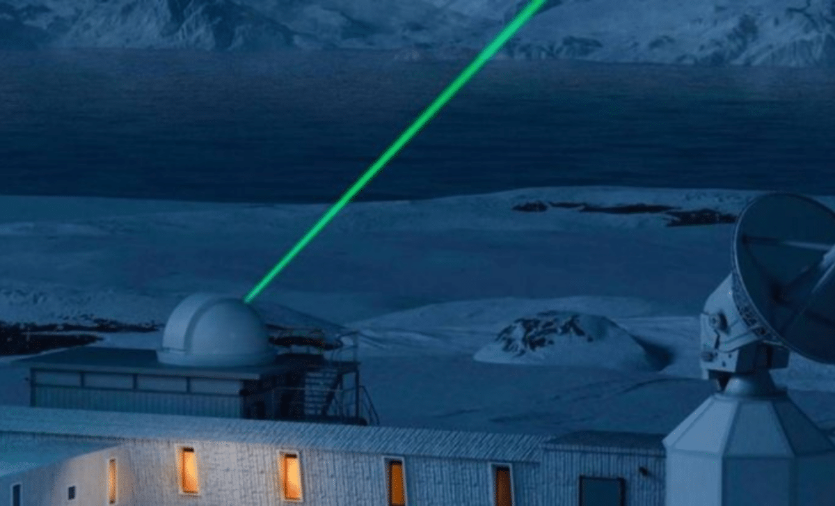
Advancements in Satellite Laser Ranging (SLR)
One of the study’s most remarkable achievements is its use of satellite laser ranging (SLR), a space-based technology capable of measuring ocean mass with great precision. By firing laser pulses between satellites and ground stations, scientists are able to calculate minute changes in the Earth’s gravity field, offering a direct measure of ocean mass changes. Prior to this study, data on ocean mass were scarce, and projections of sea level rise were mainly based on satellite altimetry, which measures the height of the ocean surface rather than its mass.
Dr. Yufeng Nie, the lead and corresponding author of the study, explained the significance of this technique, stating,
“The research showed that the ocean mass changes derived from SLR analysis align well with the total sea level changes observed by satellite altimeters, after accounting for the effect of ocean thermal expansion.”
This alignment demonstrates how SLR can serve as a powerful tool to enhance our understanding of sea-level rise, offering more accurate and long-term climate change data.
By integrating SLR data with traditional methods, the team has been able to track ocean mass changes from 1993 to 2022, offering the most comprehensive understanding of ocean mass shifts to date. This data could play a crucial role in fine-tuning future projections of sea level rise, which are essential for planning coastal infrastructure and anticipating the impacts of climate change on various regions.
The Implications for Climate Models and Future Projections
The implications of this research extend beyond just tracking the changes in sea level. By quantifying ocean mass increases and understanding the sources of this added water, the study provides critical insights into how climate models can be improved. Prof. Jianli Chen noted,
“Our research enables the direct quantification of global ocean mass increase and provides a comprehensive assessment of its long-term impact on the sea-level budget.”
As global temperatures continue to climb, the acceleration of land ice loss, particularly in polar regions, could lead to an even more rapid increase in sea levels. The results of this study underscore the need for urgent action to curb global warming and mitigate its effects on the oceans. The data also stresses the importance of continued monitoring and data collection to refine climate models and improve our predictions about the future state of the planet’s oceans.
Importance of Long-Term Data for Climate Action
One of the key takeaways from the study is the importance of long-term, precise data in understanding climate change. The use of advanced space-based technologies like SLR and satellite altimetry enables scientists to track changes over decades, providing a more accurate picture of how global warming is affecting the planet’s oceans. Without this data, our ability to predict future climate trends and make informed decisions about climate policy would be severely limited.
As the study, published inProceedings of the National Academy of Sciences, highlights, the rise in global sea levels is not just a future problem; it is already happening, and its effects are being felt around the world. Coastal cities are experiencing more frequent flooding, and low-lying nations are facing the threat of being submerged. The research offers a new tool for scientists and policymakers to better understand these risks and take proactive steps to protect vulnerable communities and ecosystems.
First Appeared on
Source link


Leave feedback about this