Around 56 million people are under winter alerts throughout the Northeast, mid-Atlantic and Appalachians as residents in cities including Philadelphia, Boston and New York City are expecting anywhere from 9 to 20 inches of snow.
Roughly 15 million people are under blizzard warnings across New York City, New Jersey and Connecticut.
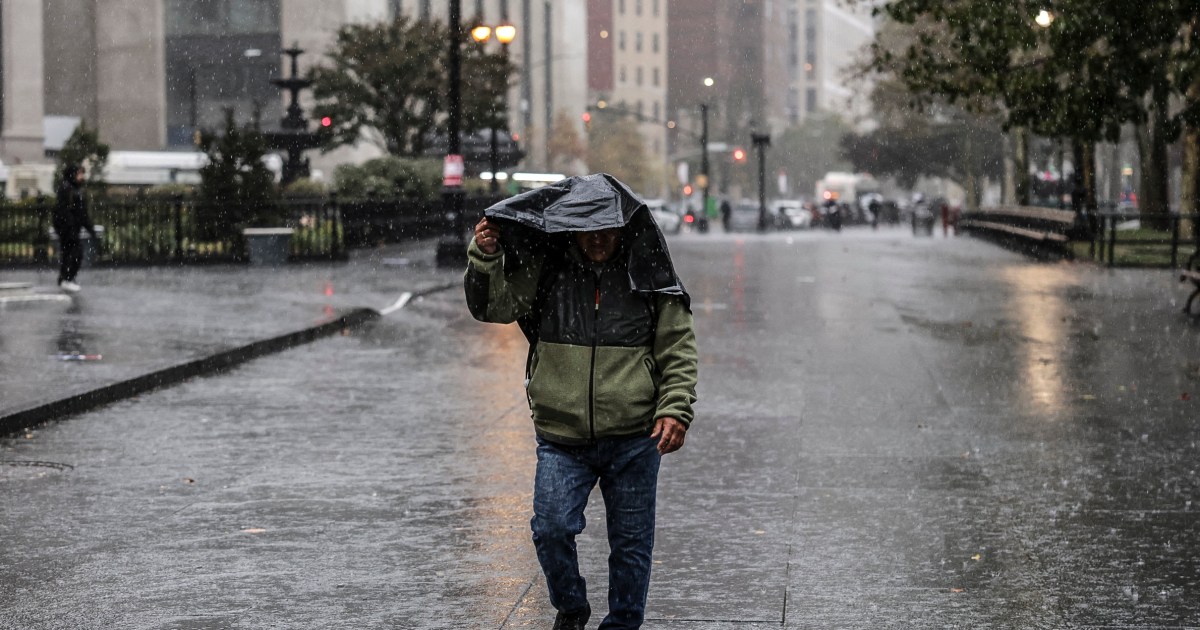
The storm is forecast to take shape on Sunday, with heavy snow and strong wind gusts targeting the mid-Atlantic, Northeast and Appalachians. A cold rain will continue over parts of the Carolinas to end the weekend.
On Sunday night, conditions are favorable for rapid intensification off the mid-Atlantic coast into Monday morning, which could result in intense wind gusts over 50 mph and bands of very heavy snowfall from the mid-Atlantic into southern New England. The biggest impacts will be along the coast, where blizzard warnings are in effect from parts of Delaware through Connecticut.
Original forecasts called for a couple of inches of snow, but projections worsened Friday as cities began issuing blizzard warnings.
In New York City, snowfall is expected to start early Sunday morning and intensify in the afternoon and at night, with up to 2 inches per hour possible in the overnight hours.
For New York City, this weekend’s storm would mark its first blizzard since 2016, Mayor Zohran Mamdani said at a briefing Saturday. He warned that the city could be buried in up to 20 inches of snowfall, making Monday’s commute “extremely dangerous,.” The city’s “Code Blue” operations have been activated to protect homeless New Yorkers, he said.
“I am asking all New Yorkers to stay inside and stay off the roads for your safety,” Mamdani said.
New Jersey Governor Mikie Sherrill declared a state of emergency effective Sunday at noon as the state braces for up to 20 inches of snowfall. Blizzard warnings have also been issued for the coast for the first time since 2022, Sherrill said during a briefing Saturday.
Sherrill urged residents to stay home and off the roads.
“That means today is the day to get the water you need, to get the food you need, go to the grocery store so you can stay off the roads tomorrow and Monday,” she said.
The Washington, D.C., and Baltimore area is expecting 3 to 6 inches of snow, most of which will fall Sunday evening.
Most of the snowfall is expected to end by Monday evening. On Monday morning, bands of heavy snow are forecast to start the day along the Interstate 95 corridor from D.C. to Boston.
These snow showers will gradually come to an end throughout the day, lingering the latest into parts of Massachusetts and Maine. Although the snow will taper off, breezy winds will persist throughout the Northeast.
This snowstorm comes to the region just as ice from a previous system late last month was melting away. The system impacted much of the U.S. and was responsible for the deaths of at least 50, including more than 10 people in New York City.
Mamdani warned that this weekend’s storm could be worse for the city than the last.
“These have the potential to be even more hazardous conditions than we faced the last time around,” Mamdani said, highlighting that the city may receive 6 or more inches of snow than it did last time.
Amtrak announced that it will be adjusting some of its routes on Sunday and Monday “due to dangerous weather conditions.” The service didn’t specify which routes will be affected but said “customers will be notified directly of any cancellations or adjustments.”
First Appeared on
Source link


Leave feedback about this