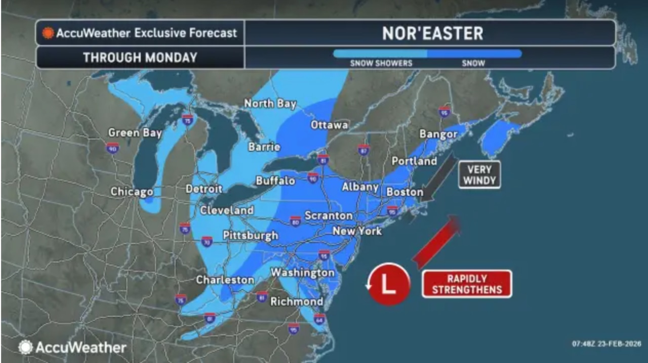
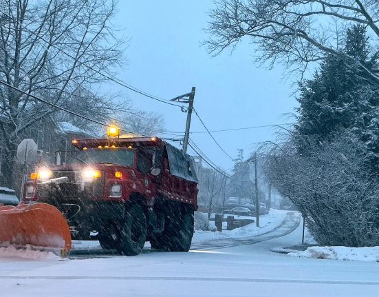
The historic blizzard that has already dropped 15 to 19 inches of snow on parts of New Jersey will continue to blast the state Monday with up to another foot of snow and 60 mph winds.
“Additional snowfall amounts between 2-12 inches are forecast area wide,” the National Weather Service said in an update at 5 a.m. Monday. “Heavy snow and strongest winds will continue through late morning,”
More than 120,000 homes and businesses were without power as of 6:45 a.m.
Intense snow bands ripping across the state could dump snow at rates of 2 inches per hour.
Freehold in Monmouth County had the highest reported snowfall total of 19 inches of snow as of 5 a.m., followed by the weather service’s New Jersey office in Mount Holly in Burlington County at 18.5 inches.
Burlington, Camden, Middlesex, Monmouth and Somerset counties all had towns that reported 15 inches or more.
“Light to moderate snow continues to fall across the entire forecast area early this morning, with a persistent band of heavy snow across portions of central and interior southern N.J.,” the weather service said.
“Periods of light snow will then continue through much of the morning area wide before snow start ending into the afternoon as the storm departs eastward.”
Blizzard warnings remain in effect for the entire state through 6 p.m.
New Jersey remains under a state of emergency and hundreds of schools across the state are closed. A travel ban on all non-essential vehicles has been extended to noon.
During the peak of the storm, snowfall rates of up to 3 inches per hour were observed.
Once the heaviest snow ends, the weather service warned that wind gusts will continue to blast up to 60 mph, threatening more power outages.
“Blowing and drifting snow is likely to continue to be an issue through the day time, even after the snow ends,” the weather service said. “Snow could be blown back onto previously clear roads, leading to icy conditions.”
The cleanup from the storm could take days. Some school districts have already called for delayed openings and closures for Tuesday.
More chances for snow this week
The forecast for the rest of the week includes two chances for additional snow.
A clipper system could bring a couple inches of snow to northwestern New Jersey on Tuesday night into Wednesday.
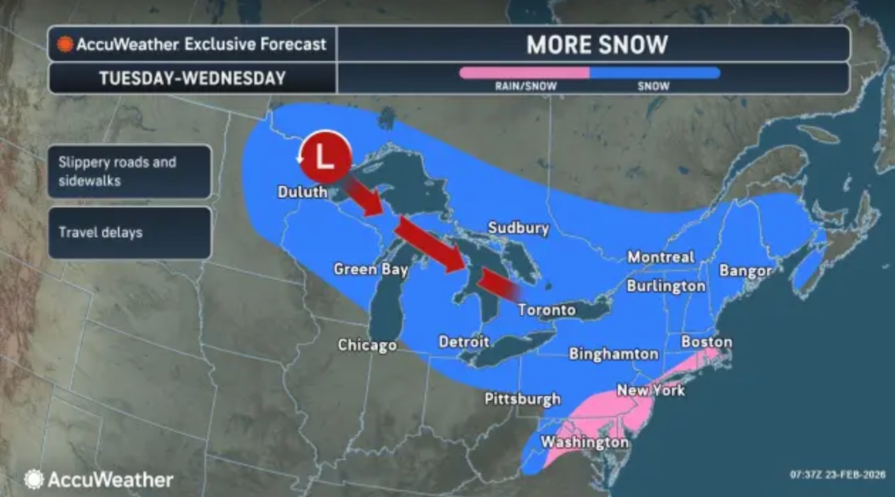
Accumulations through the rest of the state are expected to be light with a mix of rain and snow possible, the weather service said.
Highs on Wednesday will be in the 40s as skies clear.
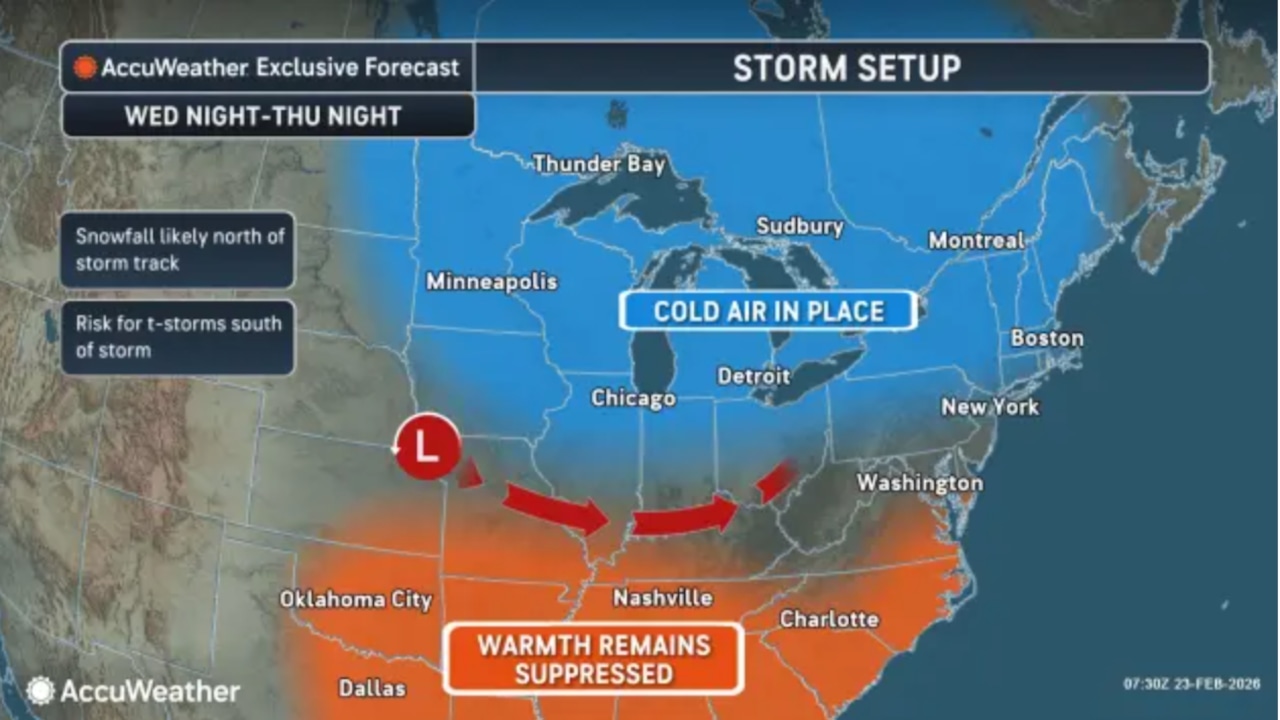
Another system could bring more snow or a mix of snow and rain to New Jersey on Thursday night into Friday.
“Uncertain at this time how much snow will accumulate from this system, ast here is low confidence with the timing and placement of this system,” the weather service said.
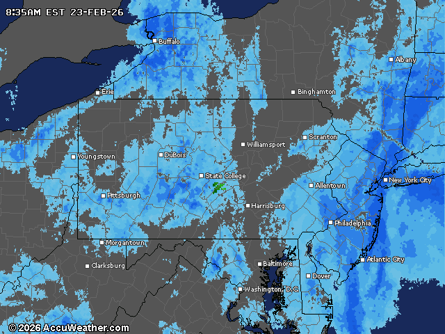
Current weather radar
First Appeared on
Source link


Leave feedback about this