The worst of a dangerous winter storm is yet to come for New Jersey, with potential “record-breaking snowfall” totals and wind gusts up to 60 mph overnight into Monday.
“The most severe conditions and heaviest snowfall will occur tonight,” the National Weather Service said in an update Sunday evening. “Very heavy snowfall and areas of blizzard conditions are expected.”
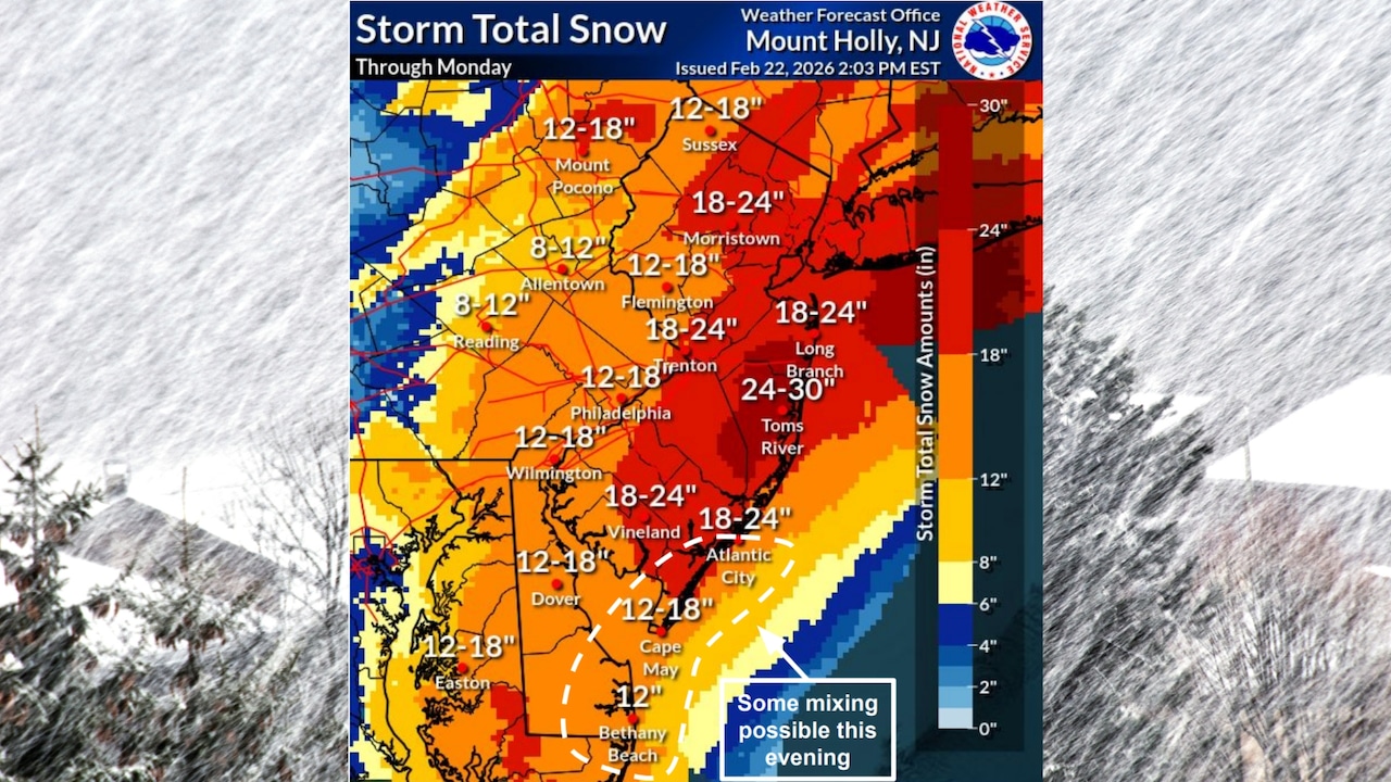
Snow projections have remained at around 2 feet for Monmouth, Ocean and southeastern Burlington counties, which are expected to be the hardest hit.
“Record breaking snowfall totals are possible,” the weather service said. “Travel should be restricted to emergencies only.”
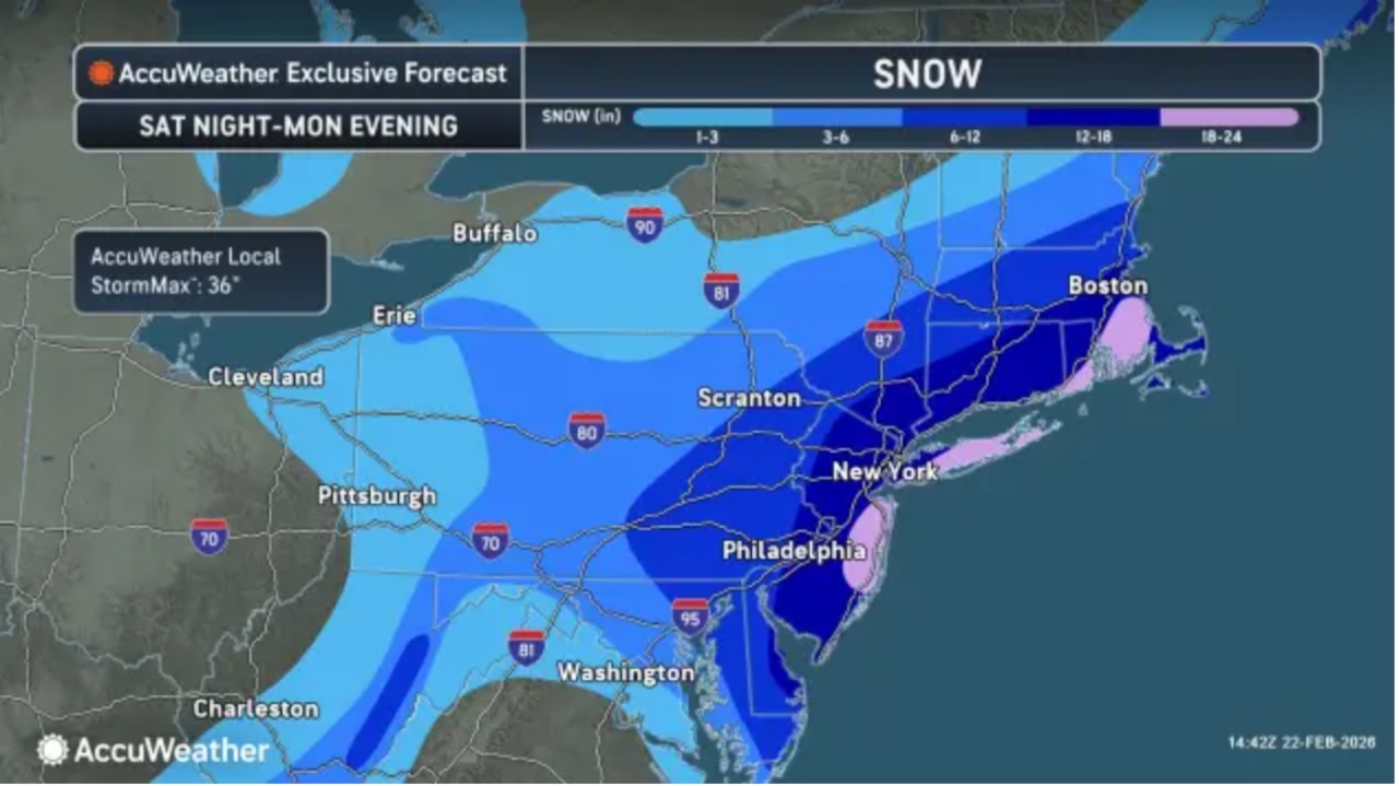
Statewide totals of at least a foot to up to 20 inches are expected, though some projections for western New Jersey counties have been reduced slightly.
Hundreds of schools have announced closures for Monday with some already telling parents that delays and closures will span into Tuesday.
Gov. Mikie Sherrill declared a state of emergency for all 21 New Jersey counties ahead of the storm.
A statewide travel restriction for non-essential vehicles runs from 9 p.m. to 7 a.m. NJ Transit also plans to shut down at 9 p.m.
Winds are expected to increase overnight, causing whiteout conditions.
“Strong winds gusting upwards of 45 mph inland and 60 mph near the coastal areas may lead to isolated power outages and localized tree damage,” the weather service said.
More than 12,000 homes and businesses were without power as of 7:40 p.m. Sunday.
“Snow is expected to gradually begin to taper off Monday morning, and come to an end from west to east sometime Monday afternoon,“ the weather service said.
But the cleanup could take days.
“Extensive impacts are possible and may linger past Monday for areas that see the highest snowfall totals,” the weather service said.
The storm marked the first time in 30 years that all 21 New Jersey counties were under blizzard warnings.
Early snowfall reports provided by the weather service showed at least 5 to 6 inches of snow on the ground in multiple counties as of 7 p.m.
Blizzard warnings, snow forecasts by county
Atlantic and Cape May counties – Total snow accumulations between 15 and 22 inches. Winds gusting as high as 55 mph.
Bergen, Essex, Hudson, Passaic and Union counties – Snow accumulations between 17 and 22 inches. Winds gusting as high as 50 mph.
Camden, Cumberland, Gloucester, Salem and northwestern Burlington counties – Total snow accumulations between 14 and 20 inches. Winds gusting as high as 45 mph.
Hunterdon, Mercer, Middlesex, Morris, Somerset, Sussex and Warren counties – Total snow accumulations between 13 and 21 inches. Winds gusting as high as 50 mph.
Monmouth, Ocean and southeastern Burlington counties – Total snow accumulations between 18 and 24 inches. Winds gusting as high as 55 mph.
Coastal flooding
Coastal flood warnings take effect at 9 p.m. and run through 5 a.m. for high tides at the Jersey Shore.
Moderate coastal flooding is possible from Middlesex to Cape May counties.
Additional flooding is possible with Monday afternoon’s high tides.
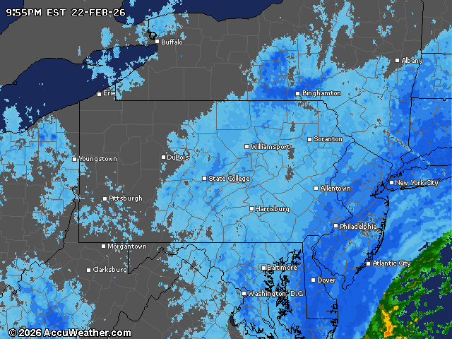
Current weather radar
First Appeared on
Source link


Leave feedback about this