Massachusetts residents are bracing for a massive nor’easter storm that is set to slam the state on Sunday, bringing heavy snow, high winds and potential floods.
The National Weather Service has issued a Blizzard Warning for Boston, Cape Cod & the Islands and all coastal regions from 4 p.m. Sunday to 7 a.m. Tuesday, while the rest of the state is under a Winter Storm Warning.
Worcester has announced a Winter Weather Emergency and cancelled schools for Monday, and other districts are sure to follow as the blizzard threatens to dump up to two feet of snow in some regions.
The National Weather Service expects snowfall to begin in Western Massachusetts between noon and 3 p.m. Sunday and move east, hitting Boston around 5 p.m.
The snowfall rate will be moderate at first and increase overnight, reaching peak intensity on Monday. At its heaviest, snow is expected to come at a rate of more than 3 inches per hour.
By Monday morning, Boston is expected to receive between 3 to 7 inches, while Central Massachusetts and Western Massachusetts will get 3 to 5 inches. Cape Cod & the Islands will get 6 to 10 inches on the first day.
Monday will see more snow pile up throughout the day, with blizzard conditions continuing overnight. By the time the storm dissipates Tuesday morning, Boston is expected to receive a total of 19 inches of snow, with a high-end forecast of up to 28 inches.
Plymouth is expected to receive 19 inches, with a high-end range of 32 inches possible. Worcester should see 17 inches, with a high-end of 25 inches.
Cape Cod & the Islands will receive around 15 inches, but the forecast allows for a high-end prediction of 26 inches.
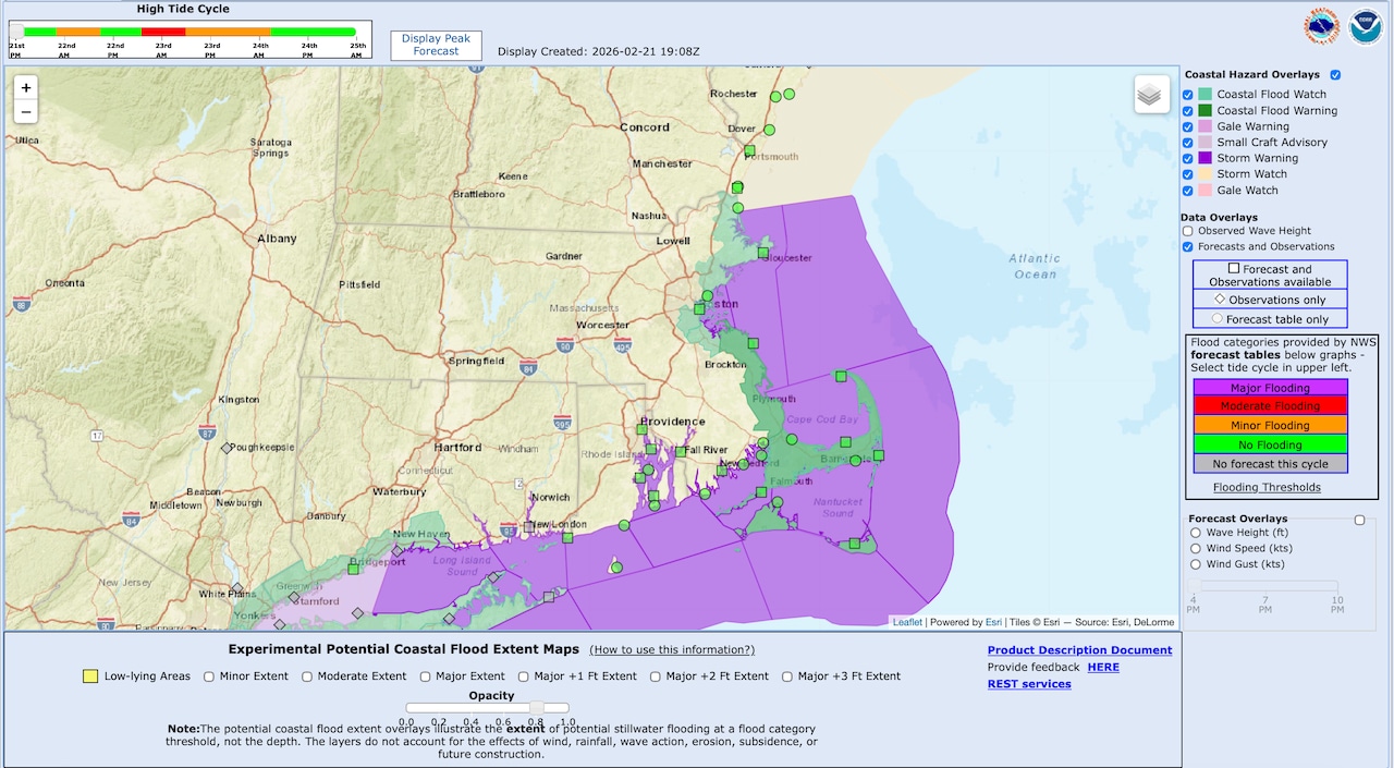
Boston, the Cape and all coastal regions will also have to deal with flood conditions. The National Weather Service has issued a Coastal Flood Watch, cautioning that inundation levels could reach 1 to 2 feet above ground level.
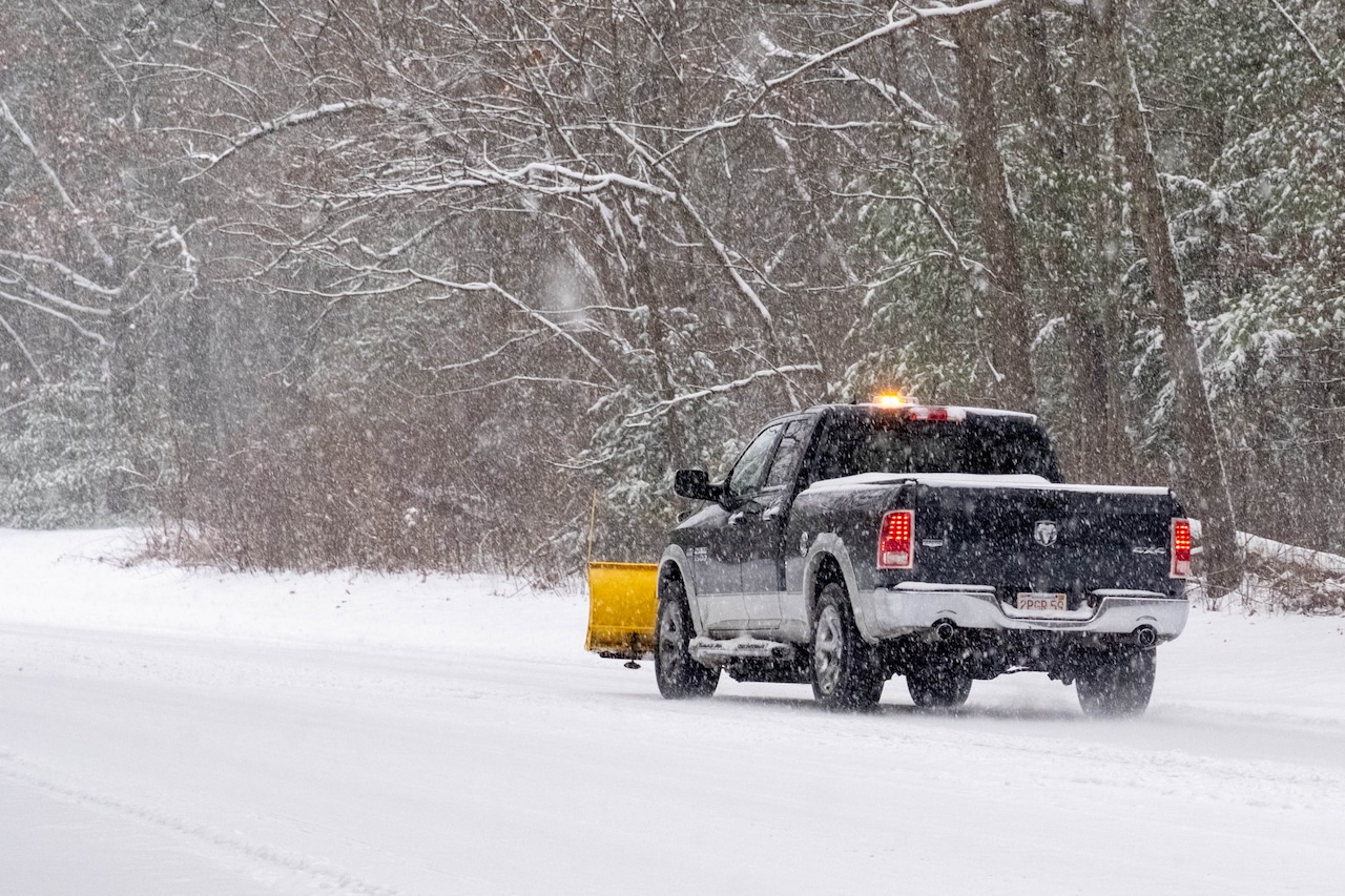
The storm will also bring powerful winds across the state, with gusts of 40 to 60 mph. The National Weather Service warns that extreme winds could knock over trees and power lines, leading to power outages.
The National Weather Service expects this to be an “extreme impact” storm along the coast, meaning there will be dangerous or impossible driving conditions, widespread closures, and disruptions to infrastructure. The rest of the state is expected to see “major impacts” from the storm. All Massachusetts residents are cautioned to avoid travel if possible.
First Appeared on
Source link


Leave feedback about this