Map brings together trusted, multi-jurisdictional data to support resilience and informed preparedness
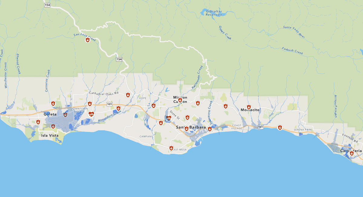
The Santa Barbara County Office of Emergency Management has launched the new Community Hazard Awareness Map, a public resource designed to help everyone better understand and prepare for natural and human-caused hazards affecting Santa Barbara County.
Built primarily from information in the countywide 2022 Multi-Jurisdictional Hazard Mitigation Plan, this map transforms technical hazard data into a dynamic, public-focused experience. Displaying this information in an accessible, user-friendly platform helps users explore hazard risks in their area, such as flooding, wildfires, earthquakes, tsunamis, and other potential threats.
“This map empowers our community with actionable knowledge,” said Kelly Hubbard, Director for the Office of Emergency Management. “Anyone can now visually expand their familiarity with local hazards and make informed decisions that protect lives, homes, and our shared future.”
Rising Hazard Risks
At a time when communities are facing more frequent and severe climate-related events, a new map highlighting local hazards provides an essential, place-based snapshot of risks facing the region. In 2021, the County completed a Climate Change Vulnerability Assessment (CCVA) that analyzes how climate‑related hazards may impact people, infrastructure, ecosystems, and community services. This assessment found that sea levels are projected to rise by 6.6 ft and there will be 8 times more extreme heat days all by 2100, just a few of the findings that further highlight the need for action.
“The Community Hazard Awareness Map offers residents a clearer picture of what climate-related challenges mean close to home. Now is the time to tap into this informative resource and take steps to prepare,” added Director Hubbard.
A Tool for Awareness, Planning, and Resilience
The Community Hazard Awareness Map is designed to benefit a wide range of users, including residents, business owners, planners, emergency managers, and educators. Key benefits include:
- Improved public awareness: Residents can see which hazards may affect their home and neighborhoods.
- Better-informed decision-making: Local officials can use consistent, reliable data to support land-use planning, infrastructure investment, and emergency preparedness efforts. Residents can gain insights to enhance personal preparedness and make their homes more resilient to local hazards and threats.
- Stronger coordination across jurisdictions: By aligning information from multiple jurisdictions, the map promotes regional collaboration and a shared understanding of risk.
Built on Trusted Data
In addition to the Multi-Jurisdictional Hazard Mitigation Plan data, the map incorporates information from other authoritative sources, including the California Department of Conservation, the California Geological Survey, and FEMA. Map data will be updated as it becomes available.
Learn More
The Community Hazard Awareness Map is available to the public at ReadySBC.org in the Maps section. Community members are encouraged to explore the map, learn about local hazards, and take steps to prepare themselves and their families.
Last summer the County Office of Emergency Management, along with various public safety partners, launched the Emergency Zones Map to help people during real-time emergencies access information on evacuations, shelter in place orders, and other protective actions. With the new Community Hazard Awareness Map, the community now has a comprehensive tool to identify potential hazards and get prepared ahead of emergencies.
First Appeared on
Source link


Leave feedback about this