The winter hits just keep coming.
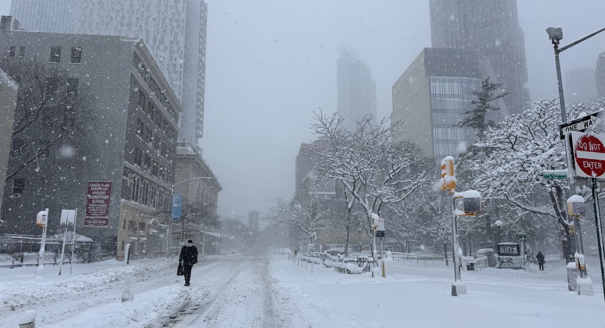
More snow is possible in the New York metro area this week, meteorologists said Tuesday, as residents continued to dig out from a blizzard that dropped at least 20 inches of snow across the city.
It will arrive in two potential waves — one overnight Tuesday into Wednesday, and the other Thursday into Friday — according to Bill Goodman at the National Weather Service.
The snowfall amounts are only expected to be an inch or two, but that could help the accumulation from the blizzard stick around longer.
“We have one weak weather system that’s going to pass through late tonight and early Wednesday morning that could leave a dusting to maybe an inch in spots,” Goodman said Tuesday.
He said temperatures would not get warm enough to cause major snowmelt, with the highest temperatures on Wednesday forecast to hit the low 40s before dipping into the 20s and 30s.
Goodman added that another winter storm could roll through the area Thursday night into Friday, though the predictions remain in flux.
“Right now we’re forecasting another dusting to an inch, but there is potential for that to maybe leave a couple of inches, so we got to keep an eye on it,” he said.
The best hope for melting the existing snow piles in the region will be the strength of sunlight on black pavement, according to the National Weather Service.
Meteorologists said they do not currently foresee any significant warm spells in the immediate future.
Officials said the city is still in a Code Blue designation through Wednesday morning, so outreach teams are working hard to get homeless New Yorkers inside.
City shelters and dozens of hospitals are operating under an open-door policy during this period, officials said.
They’re urging New Yorkers to call 311 if they see anyone outdoors in need.
First Appeared on
Source link


Leave feedback about this