UPDATE: Weekend snowstorm threat persists, but impacts remain unclear. Latest forecast.
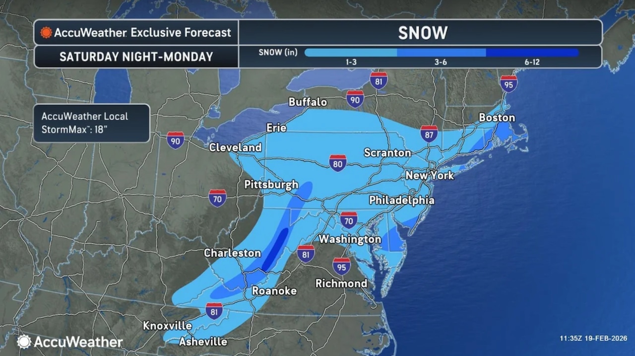
A winter coastal storm that is expected to impact the eastern U.S. this weekend could drop 1 to 3 inches of snow across most of New Jersey and as much as 3 to 6 inches in far southern counties, according to an early forecast map issued by AccuWeather.
However, snow is not a lock.
Forecasters from AccuWeather and the National Weather Service say multiple scenarios could occur because the storm’s track is tough to predict at this time.
“Sunday’s storm potential is still highly uncertain,” the National Weather Service said early Thursday. “The region will be on the northwestern edge of a potential coastal storm forecast to be just offshore on Sunday and Monday.”
Some weather forecast models are projecting light to moderate snow, particularly for southern New Jersey, while others are suggesting rain or even no precipitation at all this weekend.
Forecasters expect to get a better handle on the storm as it moves closer to the eastern U.S. this weekend.
On top of questions about the track the storm will take, forecasters don’t yet know if the air over New Jersey will remain cold enough to support all snow or some snow if the storm does move close to our region.
“The storm will move south across California Thursday, cross the Rockies Friday and track through the Central states Saturday before approaching the Northeast late Sunday into Monday,” AccuWeather said. “Multiple rounds of rain, ice and snow will affect the Upper Midwest and Northeast ahead of this potential event.”
AccuWeather added that major cities including “New York City, Boston and Philadelphia could get significant accumulating snow if the storm tracks just off the coast and taps into sufficient cold air.”
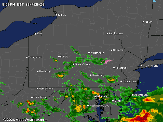
Current weather radar
First Appeared on
Source link


Leave feedback about this