
Dark, flat-topped hills in central Mauritania have captured the attention of satellite analysts and geologists tracking the evolution of desert landscapes. These formations appear as sharp contrasts against the pale sands of the Sahara, breaking the terrain’s uniformity with near-perfect symmetry and deep black surfaces.
Astronaut photographs from orbit have revealed a consistent pattern: the terrain on one side of the formations supports complex dune fields, while the other remains unusually barren. Located near Guérou, a small town in southern Mauritania, the landforms have drawn interest for reasons beyond their visual anomaly.
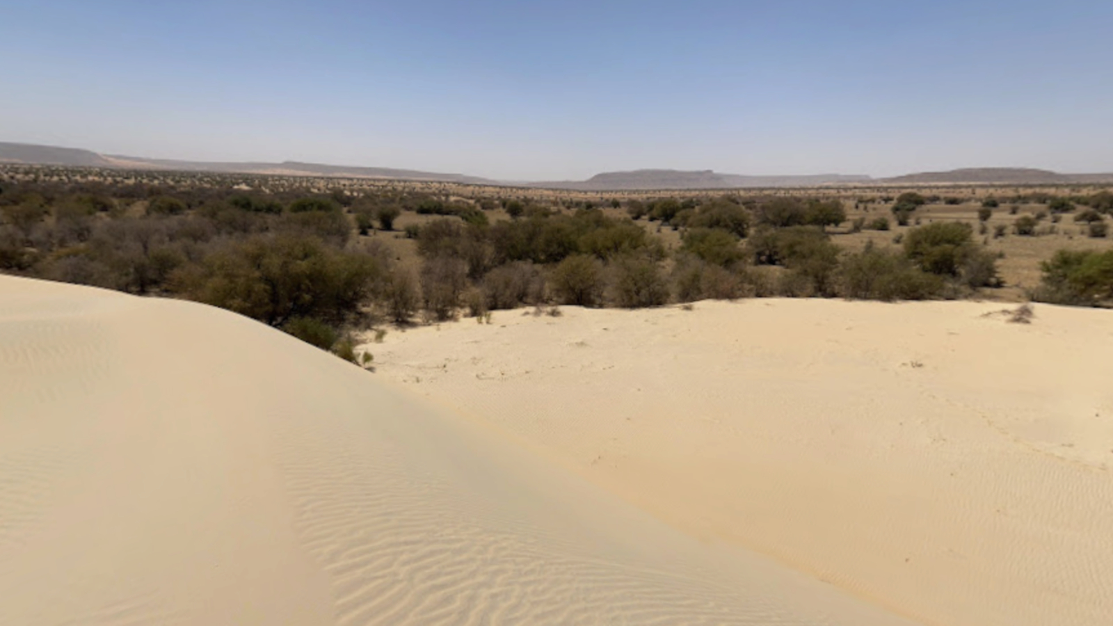
Mesas Reshape Airflow and Sediment Deposition
Three aligned black mesas sit prominently above the surrounding plains, each rising between 300 and 400 meters. These structures cause airflow from the northeast to slow as it meets their eastern slopes. This reduction in wind speed allows sand to settle, forming climbing dunes that push directly against the elevated terrain. Farther downwind, a chain of barchan dunes—arched, crescent-shaped ridges—extends as much as 15 kilometers from the mesas.
The western sides of the formations remain largely free of sand. This absence is the result of wind scour, where fast-moving vortex winds, generated by the obstruction, remove loose particles and prevent dune formation. These airflow shifts carve out a persistent zone with no sediment buildup, despite similar exposure to regional wind patterns.
Imagery published by the NASA Earth Observatory confirms that this phenomenon has remained consistent across at least a decade of observations. A photograph from 2014 shows a near-identical dune alignment, suggesting that the interaction between wind and landform has achieved long-term stability.
Ancient Sandstone Origins and Rock Varnish Formation
The mesas are geological remnants of a Paleozoic sandstone formation, dating back over 250 million years. These landforms are what remains after prolonged erosion removed softer surrounding rock. Their elevation and survival are attributed to a hard, erosion-resistant caprock that protects their flat tops from degradation.
Each mesa is coated in a thin layer of rock varnish, a dark substance rich in manganese and iron oxides. This varnish forms slowly over thousands of years in arid environments, resulting from chemical deposition and, in some cases, microbial activity. Its presence gives the mesas their distinctive black color and adds further resistance to erosion.
NASA notes that these dark coatings have developed through long-term exposure in hyper-arid climates. Additional background on the mineral structure and possible microbial involvement can be found in this overview of rock varnish research, which outlines how micrometer-scale lamination provides environmental clues over geological timescales.
The durability of varnish-covered caprock has allowed these mesas to remain intact even as wind and water eroded the surrounding terrain. This selective erosion process is consistent with the formation of mesas documented in arid environments globally, including examples highlighted by the U.S. National Park Service.
Regional Comparisons and Planetary Relevance
Roughly 460 kilometers to the north lies the Richat Structure, another Paleozoic-era formation in Mauritania. Often referred to as the Eye of the Sahara, the structure shares similar geologic roots with the Guérou mesas, though it has a circular layout rather than a linear ridge.
These landforms are not unique to Earth. Mesas also dominate parts of the Martian surface, where aeolian erosion has created similar wind-exposed features. On both planets, terrain influences wind flow in comparable ways. The study of Earth-based analogs like the Mauritanian mesas supports efforts to interpret Martian geology, particularly in preparation for rover landings or sample-return missions.

A 2023 analysis by Live Science highlighted how these formations have become a focal point for remote sensing studies and cross-planetary research. The consistency of the dune alignments supports the use of the site as a comparative model for other planetary landscapes.
NASA’s interest in the Guérou region stems in part from this comparative value. Surface interactions between ancient terrain and current wind patterns reveal long-term environmental processes that remain relevant in both Earth and planetary science.
Further Monitoring and Data Potential
NASA’s Earth Science and Remote Sensing Unit continues to monitor the region for changes in dune structure and surface albedo. While the observed features have remained stable since at least 2014, researchers are assessing whether shifts in climate or wind direction could eventually alter the existing dune alignment.
There is also interest in the chemical composition of the rock varnish itself. If ground-based missions in the area become feasible, varnish sampling may allow reconstruction of paleoclimate data at a higher resolution than satellite instruments can currently achieve.
The dynamics between wind scour zones and sediment transport remain active areas of study, particularly under climate stress scenarios. Investigators are modeling whether terrain-induced vortex winds contribute to regional patterns of desertification, especially in zones with limited vegetation cover.
First Appeared on
Source link


Leave feedback about this